Sunset from Mcafee’s Knob
After a long, cold, and snowy winter in Blacksburg, spring is finally here. The weather is getting warmer, the grass is getting greener and you can see an explosion of all sorts of plant growth. On April 2nd, 2010, I went back to McAfee’s Knob with my buddy Andrea. It was very warm day felt like summer, almost 90 degrees. My main goal of this hike was to capture a perfect sunset. Please read my earlier post for more information about the trail.
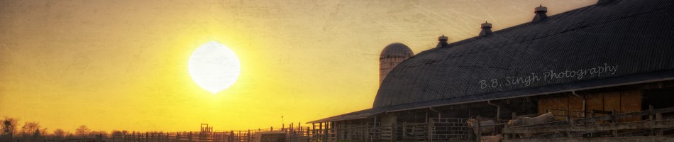
I enjoy driving up to Catawba valley, it’s very scenic. You can see surrounding mountains, farmlands, cattle and horses grazing and there is a creek that follows the route almost up to Route 311. This long, twisty, roller coaster road reminds me of back home, Nepal. Plus I drive a stick shift, which makes driving extra fun.

Mcafee’s Knob
We started our hike around 5:30 pm. We followed the Appalachian Trail to the top and used fire trail to come back down. There were few people on the trail mostly returning from the top. We were at the top a little before sunset. But we were greeted by unexpected and annoying friends, flies. We were attacked by swarm of flies. They were all over us, in our face, body and even in pictures. Andrea left early but I stayed another half hour running from one end of the knob to another to avoid these flies. I finally gave up and headed back home. Click here for more photos

Sunset from Mcafee’s Knob
McAfee Knob
McAfee knob is considered to be the most photographed spot on the Appalachian Trail. The reason become evident once I reached the top. On October 3rd, 2009, our department organized this trip, so we left little after noon. The group that went with me was quite big, about 15 people. I love hiking in groups but when you have a group as big as this, you are likely to be content talking within the group rather than enjoying nature. I myself was distracted the whole trip, as I was following my group and not paying too much attention to the trail. So I do not have as much insight to offer from this trip.
It was another perfect day. The trail was fairly crowded by weekend hikers. There are two trails you can take up to the peak. We followed the Appalachian Trail to the top which is more scenic one and it’s about 3.5 miles to the top. We used fire trail to get back down which is about 2 miles. At the top, you are about 3,197 feet above the sea level. From the top you can see Catawba Valley, Tinker Cliffs to the North and the Roanoke Valley to the East.
After our hike we all went to Home Place Restaurant (which is actually less than 2 miles from the McAfee parking lot), serves the best homemade southern food on earth. It is hidden in the mountains of the Roanoke Valley, surrounded by cattle grazing the Catawba hillside. For $13 you get all you can eat fresh cooked southern style food which includes fried chicken, roast beef or smoked ham, soft buttery biscuits, delicious green beans with ham hock, mashed potatoes, pinto beans, Cole-slaw and boat of gravy. Just writing about it makes me hungry. I am literally in love with place; I was telling my friend the other day if I am here for longer, I might even have my wedding reception here. Later, I will write a new post on this place, it’s a hidden gem. Click here for more photos…

Me on the edge

Tinker’s Cliff from McAfee’s Knob


")


